Roland Filzwieser

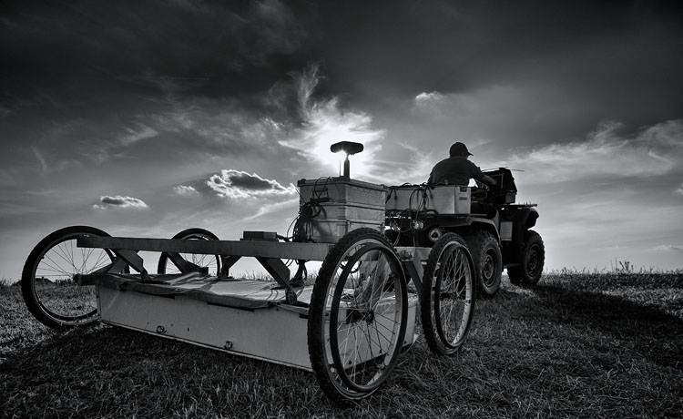
I am a Senior Scientist at the Vienna Institute for Archaeological Science (VIAS) and member of the research network Human Evolution and Archaeological Sciences (HEAS), doing research in archaeological prospection, landscape archaeology, digital humanities, and medieval history. I am specialised in geophysical prospection and digital documentation methods in combination with historical written and cartographic sources.

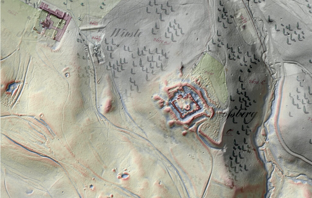
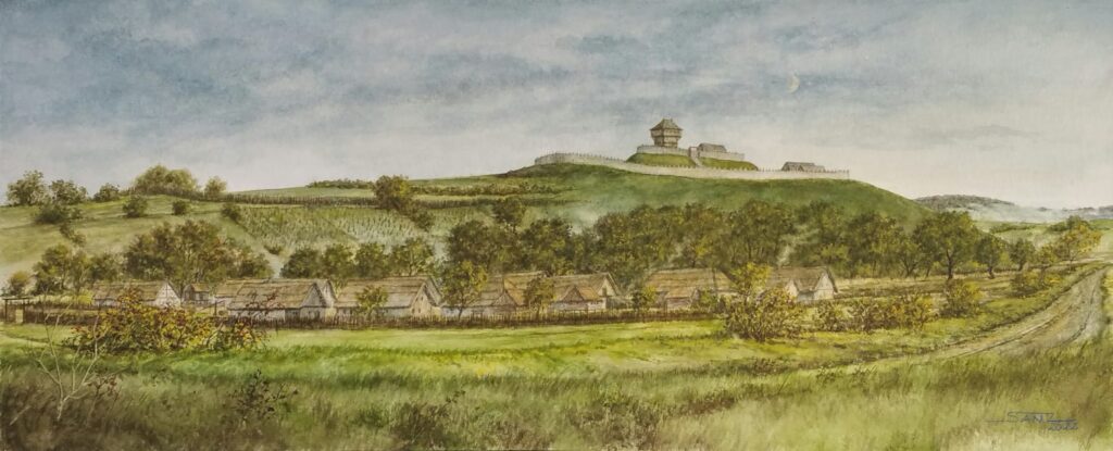
In recent years I have focussed my research on the investigation of deserted medieval landscapes and their resilience with regard to various crises as well as the stratigraphic analysis of a wide range of interdisciplinary sources. These comprise archaeological prospection data such as geophysical data and digital terrain models, digitised historical maps and written sources. My methodological interests also include the development of new digital tools and research approaches.

Surveying Roman Bassianae (Serbia) with GPR in 2014 (© Geert Verhoeven)

Scharfeneck Castle and the monastery of St Anna. Data basis: DGM aerial archive University of Vienna; Franziszeischer Kataster (Urmappe) © BEV – 2020, Bundesamt für Eich- und Vermessungswesen in Wien, N79298

The Dernberg. Artistic depiction of the late medieval castle and adjoining village based on archaeological prospection and historical sources. (© Franz Seidl, https://www.sanz-art.at)

Deserted Villages

The DeVill project aims to digitise and present the extensive records of the Deserted Medieval Villages Archive of the Austrian Society for Medieval and Modern Archaeology, initiated by Fritz Felgenhauer and advanced by Kurt Bors, using an open-source online database and a freely accessible interactive web application. The archive encompasses detailed descriptions, images, maps, and archaeological findings of these historical sites. By employing scans, 3D models, and interactive maps, as well as the relevant literary sources the project shall foster international collaborations on the academic research of deserted villages. Additionally, the project facilitates the understanding of the villages’ historical significance and their connections within a wider medieval landscape. Adhering to the FAIR principles for data management and using CIDOC CRM for data mapping, DeVill leverages OpenAtlas as its backend to acquire, edit, and manage data, ensuring the project is underpinned by robust and open-source technology. The DeVill project is conducted with the collaboration of the Austrian Society for Medieval and Modern Archaeology, the Natural History Museum Vienna, and the Vienna Institute for Archaeological Science, and funded by the European Union via the Federal Ministry for Arts, Culture, the Civil Service and Sport.

the project website is available here

Beyond the Item

The bITEM project – short for ‘Beyond the Item – Biographies and Itineraries of Cultural Heritage Objects in Museums and beyond‘ – aims to present well-known museum objects in a state-of-the-art web application that is freely accessible online. The objects and their biographies are vividly described and, in addition to images and texts, 3D models as digital twins, timelines, and story maps are made available. Furthermore, the objects are presented with important actors in network visualizations. Object bibliographies thus become traceable and the journey of the exhibits to the museum is easy to understand. Within the project, data are digitised according to the FAIR principles and mapped using CIDOC CRM to be provided online. OpenAtlas is used as backend to acquire, edit and manage data. It is entirely built upon open source software. Research and development within the bITEM project at the Natural History Museum Vienna as well as at the Vienna Institute for Archaeological Science is funded by the go!digital 3.0 program of the Austrian Academy of Sciences (GD3.0_2021-17).

the project website is available here