Geographically Correct Network Map Subway and Rapid Transit Vienna City Area
Please choose the preferred resolution:
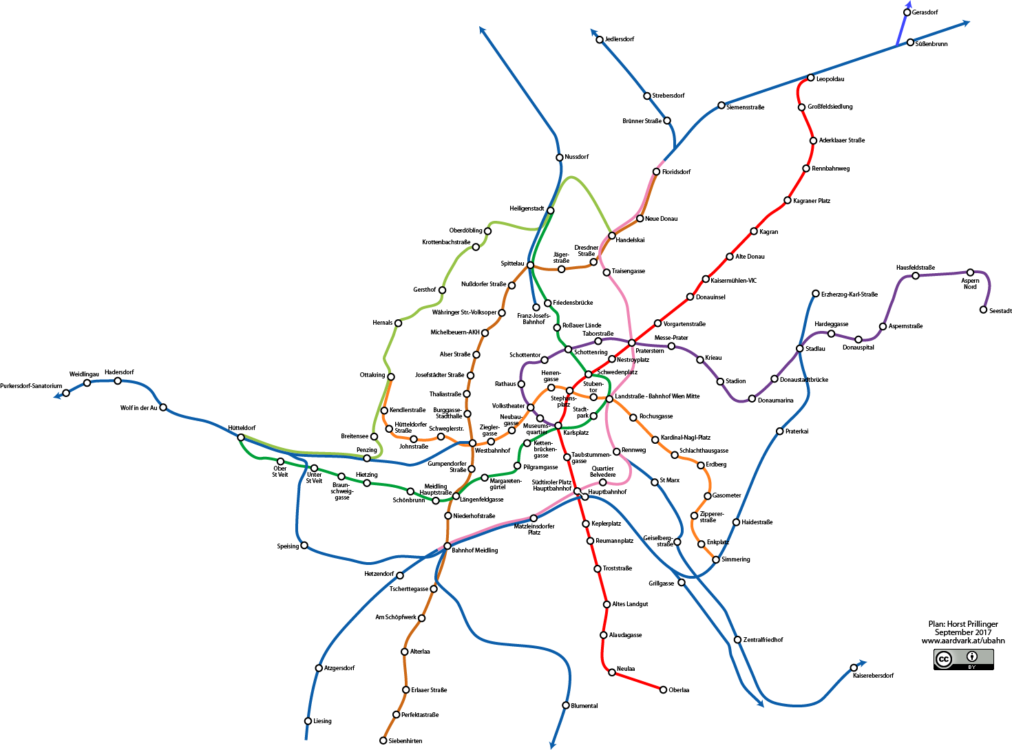


Geographically Correct Network Map Subway and Rapid Transit Vienna City Area by Horst Prillinger is licensed under a Creative Commons Attribution 4.0 International License.