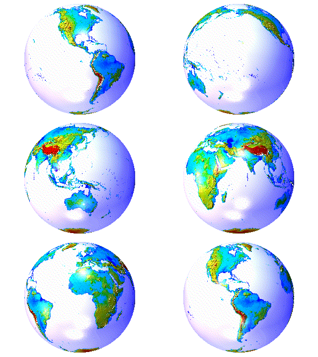
Geomorphology, maps, etc.
USGS
FEWS data portal
- Famine Early Warning Systems Network provides geo-spatial data, satellite
image products
Aerial geology by lightplane - by Louis J. Maher
Aerial Reconnaissance Archives
of the British Army during World War II
Anavasi - the best maps to locate Greece´s beauties
ASTER -
Advanced Spaceborne Thermal Emission and Reflection
Radiometer
Image hunter - serach for satellite
images
íNaturalist
- joint initiative of the California Academy of Sciences and the National
Geographic Society
JAXA Global
Satellite Mapping of Precipitation (GSMaP)
3D UK Mapviewer National Library of
Scotland
Sentinel playground - daily updated Sentinel-2 imagery (10
m resolution)
Sentinel
Hub Public Collection of data
TanDEM-X global
forest/non-forest map
TerraSar-X
archive
AlpAndino - e-learning course on
alpine ecology available in both English and Spanish
Austria online maps!!! superb
basemap.at - Verwaltungsgrundkarte
Oesterreich superb
data.gv.at - public data sets
Austria superb
geodata.gov.gr - Open
data accessible to everyone
HUNGARICANA - Map-based historical map
search by Arcanum
superb
INSPIRE
Austria
INSPIRE
International
Kataster
BEV
LISA - Land Information System
Austria
Mapire -
First, second and third Austrian Military Survey online!!
superb
online geographic map -
Bundesamt für Eich- und Vermessungswesen
online hydrographic measurement points - Bundesamt fuer Wasser
online soil map - Bundesamt fuer Wald
Airbus defense and space
- high resoltuion satellite imagery, including Pleiades
ALOS World 3D
- 30m global digital surface model by Japanese Exploration Agency (JAXA)
Alphabetical listing of all Places in
the World - superb Global Gazetteer Version 2.1
Bundesamt für Eich- und Vermessungswesen
d-maps - free maps
Bathymetric
data (multi-meam, LiDAR) - NEIC National Centers for Environmental
Information
Earth Explorer -
SRTM etc. by USGS - superb
Earth Science World Image Bank
EGMS - European GRound
Motion Data
EMODNET
- European Marine Observation and Data Network
(bathymetric data)
Flooding risc
maps Austria HOchwasserRisikoflächen
Austria (HORA) - superb
geodata.gov.gr
geoimage.at
Geosystems.de - fast alles
was der Jambo braucht
geoland.at - neun Bundeslaender
Oesterreichs - ein Geodatenlink
GIS Burgenland - superb
Hydro Burgenland - Wasserportal Burgenland
Image bank of earth science images
geimagehunter.apollomapping.com
- multi-database search for satellite images
Natural Earth - free vector and
raster map data
Land Processes Distributed Active Archive
Center (LP DAAC) - NASA
& USGS
Lunar and Planetary Institute - great slide sets and digital images of Earth and planets!!
Libyan Desert - landscape, rock art, archaeology
Mediterranean Oceanic Data Base - free
downloads of data!!
MicroImages - Advanced Software for Geospatial Analysis
OpenStreetMapData -
Land polygons, Water polygons, coastlines, etc. - superb
OpenStreetMap data extracts
OpenTopography
PSMSL - Permanent Service for Mean Sea
Level
River-runner - shows you
run-off path from any point within the US to the coast
terraserver - buy satellite imagery
image by image
Scotland National
Library Maps
WorldDEM -
Airbus Defence
SailingHeaven - nautical charts onlinea
- Advanced Software for Geospatial
Analysis
NASA Astronomy Picture of the Day
NASA Earth Observatory - cool pics
NCAP - National Collection of Aerial
Photography UK
Panoramas of Mountains - mountain panoramas
Panoramas of the Alps
Permafrost zonation maps
- Stephan Gruber exETH - present
Carleton University Ottawa Canada
Photogalerien -
riesige
Auswahl von Paul Hofmann
RiverTools - geomorphologic software by RIVIX
Rock Glaciers - working group University of Innsbruck
SciLand -
Gesellschaft
zur Bearbeitung digitaler Landschaften
SIR-C/X-SAR images - Deutsche Forschungsanstalt für Luft- und Raumfahrt
Terrainmap.com
- Digital Terrain Modeling and Mapping Journal by John Childs
Terra Vision - an Open Source interactive terrain
visualization system by SRI International
Views of the Solar System -
many images with a plethora of updated information
Virtual
Terrain Project
World Data Center for Marine Geology &
Geophysics - by
NOOA National Geophysical Data Center
Yandex - Russian satellite imagery